JMap Survey

JMap Survey

Educational Learning 2.3.0
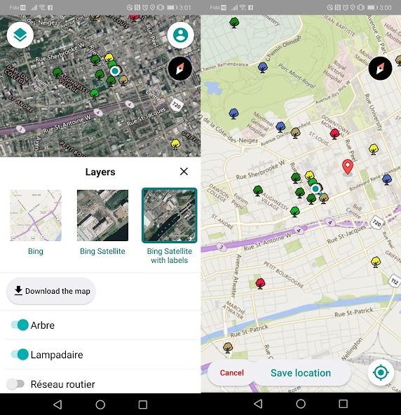
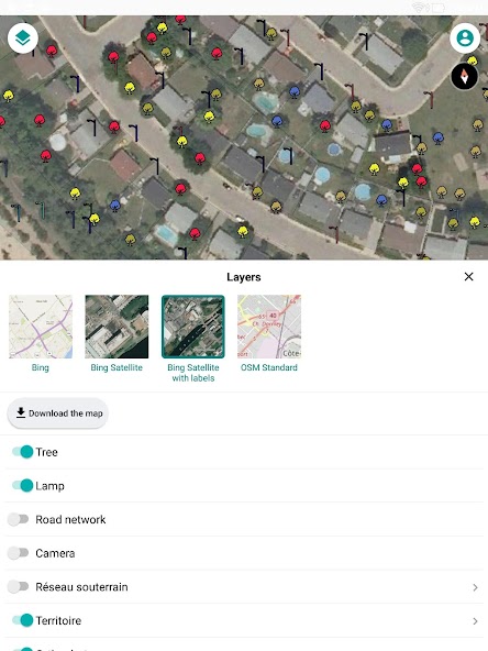
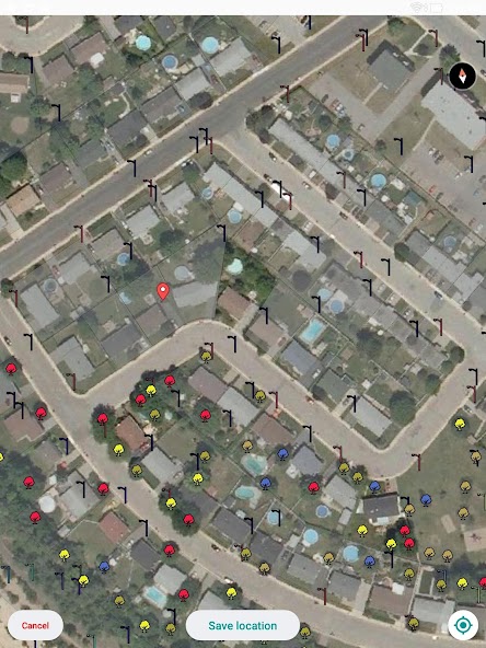
Data collectingJMap Survey connects to JMap Server (requires a license). The application allows to go to the terrain and to collect geospatial
2.3.0

Screenshots

Description

Data collecting

JMap Survey connects to JMap Server (requires a license). The application allows to go to the terrain and to collect geospatial data for the creation of inventory or inspections.

JMap Survey Features:

- Access to all your JMap projects

- Availability of Base Maps (Bing Maps, OpenStreet Maps)

- Works in Online and Offline mode

- Uses smart forms created using JMap Admin

- Capture images during the gathering of information

- Use of GPS Data from the device or a connected external device.

What's New in the Latest Version 2.3.0

Last updated on Nov 14, 2024 When offline, indicate the extent of the downloaded data

Expand

Other Information

  • Release Time

    2024/11/16

  • Size

    50MB

  • Package Name

    com.k2geospatial.jmap